Project Summary: Improving Flood Forecasting for Enhanced Preparedness
Principal Investigator: Hyongki Lee, Associate Professor, Cullen College of Engineering, University of Houston
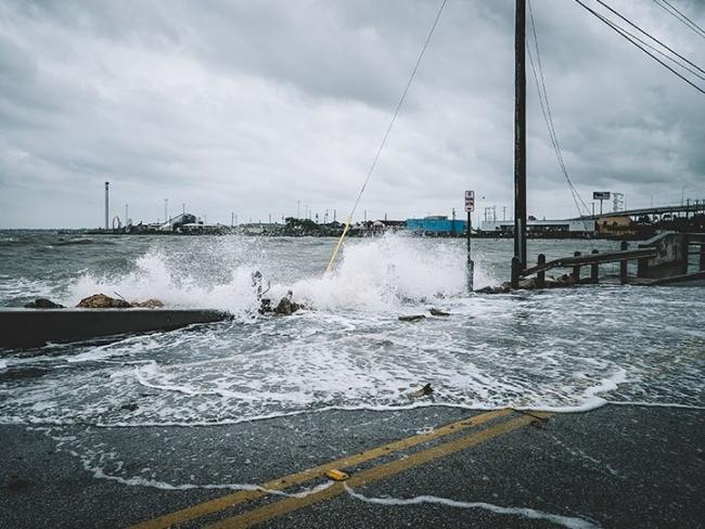
In the wake of Hurricane Harvey's devastating impact in 2017, Professor Hyongki Lee's firsthand experience has fueled a research initiative aimed at addressing critical gaps in flood forecasting. Acknowledging the personal impact of inadequate information during the hurricane, Professor Lee is spearheading a three-year project titled “Forecasting Inundation Extents Using VIIRS and SAR Imagery with Streamflow Forecasts from NOAA’s River Forecasting Centers/National Water Model and GEOGloWS.”
Goals
The primary goal of this project is to enhance the accuracy of flood forecasting by implementing the Forecasting Inundation Extents using REOF analysis (FIER) technique, developed by Professor Lee's research group. The project specifically aims to create cloud-free forecasted inundation extents, complementing NOAA’s National Water Model and GEOGloWS streamflow forecasting system, or forecasted river levels from National Weather Service (NWS) River Forecast Centers.
Methods
The researchers will employ the FIER technique, initially developed using synthetic aperture radar images immune to cloud cover during rainy seasons. The project will focus on three distinct flood-prone regions in the United States: the Mississippi River Basin around New Madrid, Missouri (riverine flooding); the Red River Basin (snowmelt-induced flooding); and southeastern Texas, including the Houston metropolitan area (pluvial or rainfall-based flooding).
To validate their approach, historical VIIRS imagery with cloud cover will be analyzed using the FIER technique in the chosen test regions. The project aims to extract inundation signals and provide cloud-free forecasted inundation extents, integrating these findings with existing streamflow and river level forecasts.
Long-Term Impact
Upon successful completion of the test studies, the researchers envision the operational integration of their methodology into NOAA's forecasting systems. The long-term goal is to provide accurate and timely forecasted inundation extents alongside existing streamflow and river level forecasts, thereby improving the nation's preparedness for future flooding events.
Collaborators
The project involves collaboration with co-investigators Gustavious Williams and E. James Nelson at Brigham Young University, as well as William Straka III from the Cooperative Institute for Meteorological Satellite Studies at the University of Wisconsin at Madison. Their combined expertise strengthens the multidisciplinary approach to advancing flood forecasting capabilities and ensuring the project's success.